

Some quick notes on Ian as of 6 pm ET
-A Tropical Storm Watch has been issued for the Lower Keys.
- Looking at the radar, the storm is beginning develop some deeper convection and banding features. Though it remains a minimal Tropical Storm, rapid intensification should happen overnight.
- The storm took a visible northerly jog a few hours ago. Jogs happen often with weaker storms, and we saw a southern jog the other night which pushed forecast tracks further west. This jog may force a push further east again for the forecast track. We will see at 11 pm ET.
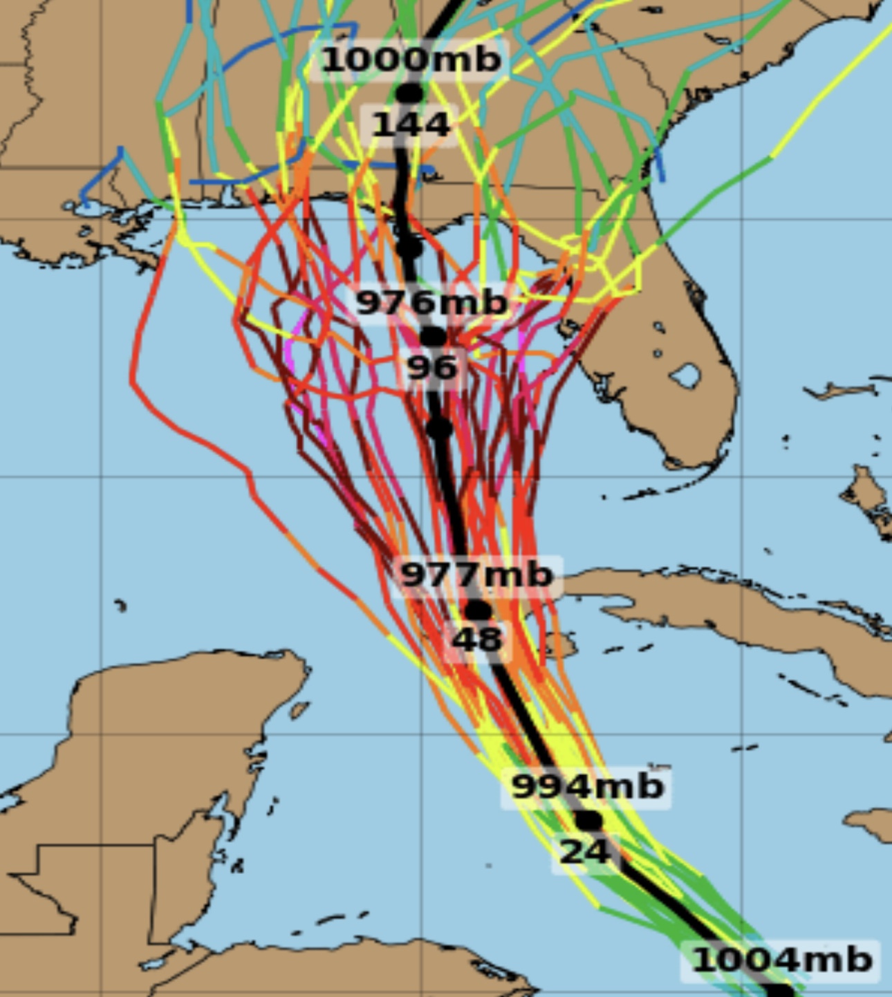
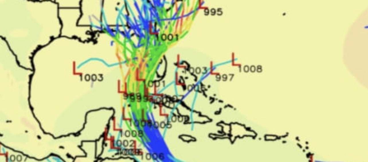
- This cannot be stressed enough and the NHC itself keeps putting it in every advisory but this storm has a higher degree of uncertainty as to its path than usual. The two most reliable models are carrying dramatically with the GFS (model runs above) bringing the storm ashore in the panhandle.
- The other major model, the Euro model (runs above) brings the storm closer to the west coast hugging the coast until a landfall somewhere between New Port Richey and Cedar Key. This would not only give massive impacts for the Tampa Bay Area and SW Florida BUT would also mean the storm will impact the east coast, even though many in SE Florida have already checked out on Ian. Stay alert and tuned.


A word to fools. If you are in Florida and a hurricane may be approaching and you’re close or in the cone, check the update at least daily, if not more often.
LikeLike