Since south Florida is made largely of transplants many locals don’t know about the complicated history of road building in the region this is a good time to discuss the remarkable road that is the Florida Turnpike. While the federal government dolled out money for roads in their native New York and Chicago, road building down here in what was the backwater of America (a tourist haven, but a place very few people seriously thought of living after the Great Depression) was largely a state and local matter.
The Interstate Highway system didn’t come to Florida until the early 1960s. Even then the stretches of urban roads built in Miami, Tampa and Jacksonville didn’t connect to anything until the large stretches of rural interstate were completed in the 1970s and 1980s.
Jacksonville and Miami had to take matters into their own hands to build urban freeways and both did a remarkable job of designing and ultimately building roads financed with local and state money. For example, the Palmetto Expressway was built by Dade County with some state help in the late 1950s. At the time I-95 didn’t exist, and the Palmetto cut through dairy farms until hitting some urbanized areas near its termination in Kendall. Today, the Palmetto carries more cars than any Interstate in Florida outside of Miami-Dade or Broward counties (The busiest stretch of Interstate highway in the state is I-95 through Fort Lauderdale).

Governor Fuller Warren from Jacksonville was a populist visionary, not that different than Huey Long. He was probably Florida’s most colorful governor. Warren, who was almost impeached by the Legislature numerous times had a vision. The vision was a limited access parkway from Miami to Jacksonville, then the two principal cities in the state.
Conservative spendthrifts from North Florida known as the pork chop gang, led by Senate President Charley Johns from Starke thought the idea foolish. In the days of malapportionment, rural representation dominated the legislature, even though in 1955 close to a third of the state’s population lived in Dade County.

Broward County Commissioner Thomas B. Manuel as well as Miami Herald editor John Pennekamp were the most effective advocates for the road and eventually prevailed.
Warren was long gone when the first stretch of Turnpike opened on January 25, 1957 thanks in large part to the efforts of Florida’s first new south governor Leroy Collins and U.S. Senator George Smathers, who was from Miami and owned a home in Jacksonville. The Turnpike was the first large scale limited access road built in the South outside of urban core areas.

The initial stretch of Turnpike began at what is now the Golden Glades Interchange 10 miles north of Miami and ended at S.R. 70 in Fort Pierce. The original exists and service plazas on the road were as follows:
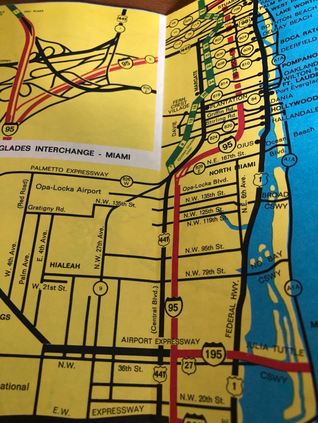
- US 441/SR 826 North Miami Beach
- SR 820 Hollywood
- SR 84 Fort Lauderdale
- SR 838 Fort Lauderdale (Sunrise Blvd.)
- Service Plaza-Pompano Beach (Hammondville Road)
- SR 814 Pompano Beach
- SR 806 Delray Beach (Delray West Blvd.)
- Service Plaza- West Palm Beach
- SR 704 West Palm Beach (Okeechobee Blvd.)
- SR 706 Jupiter (Indiantown Road)
- SR 714 Stuart
- Service Plaza- Fort Pierce
- SR 70 Fort Pierce
The Turnpike was an entirely rural road at its opening. The only real development near the highway was at the Hollywood exit. The road had been built as far west as possible to avoid cities and not to break up vital dairy land. The design for the road as similar to the Pennsylvania Turnpike and the New York State Thruway.
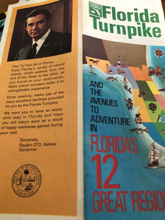
The Turnpike in 1964 was eventually opened all the way to Wildwood. Below images are from a 1971 Florida Turnpike map.