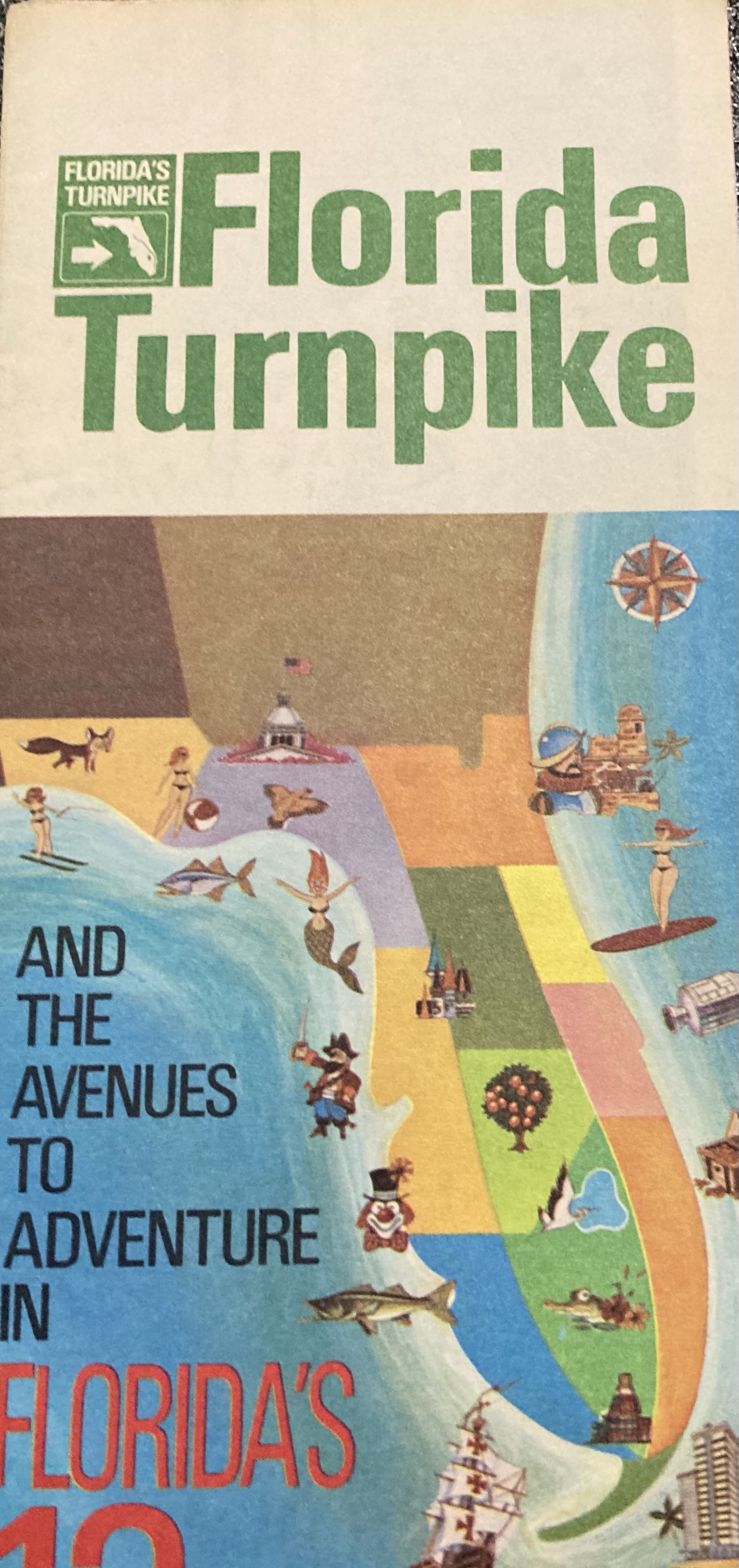
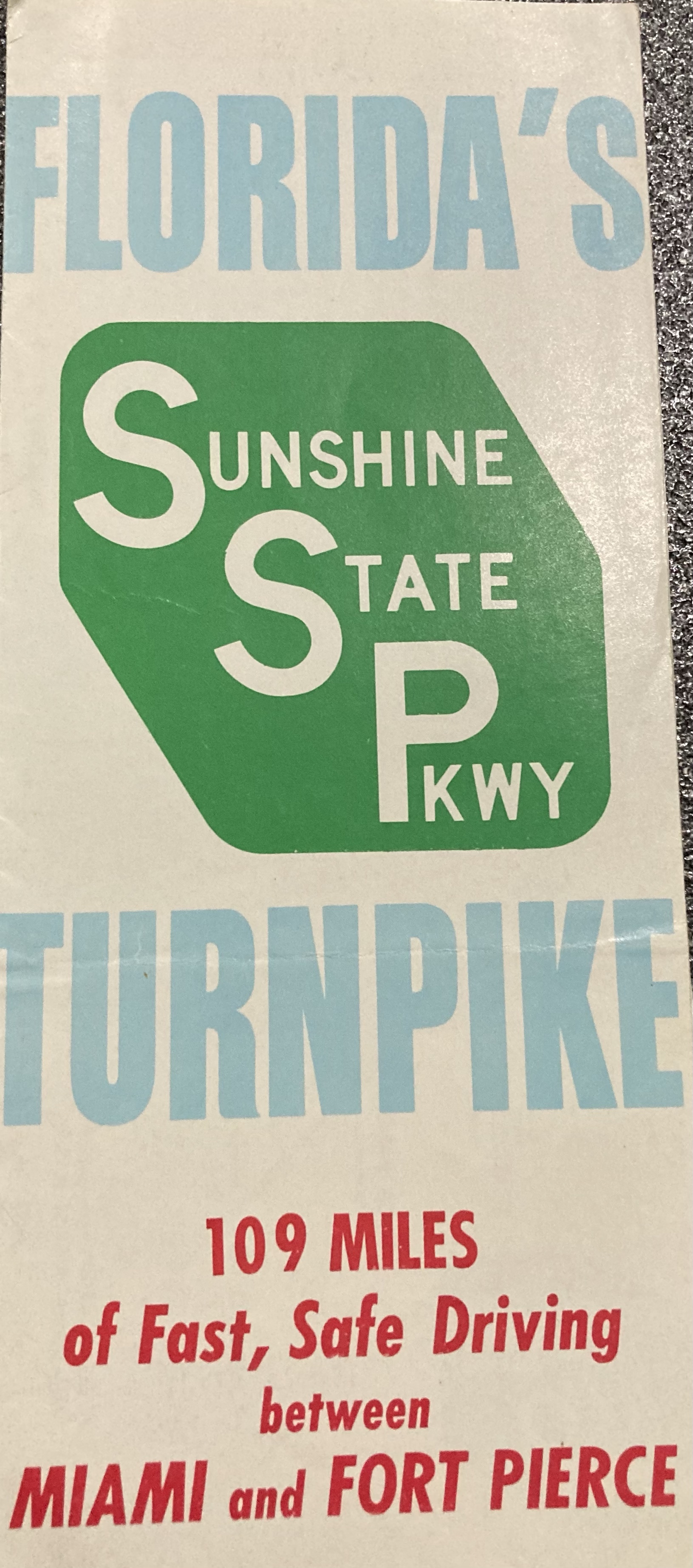
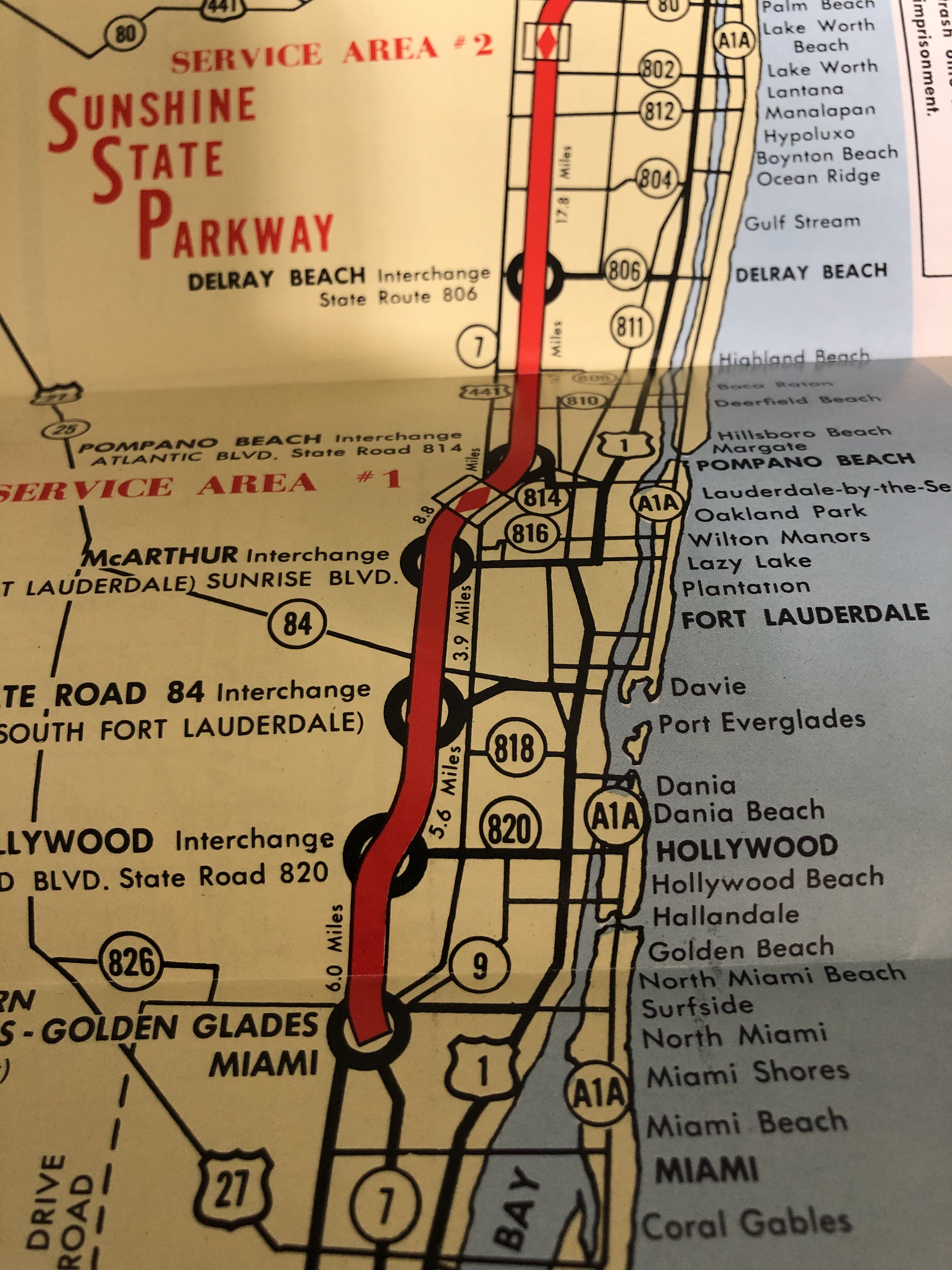
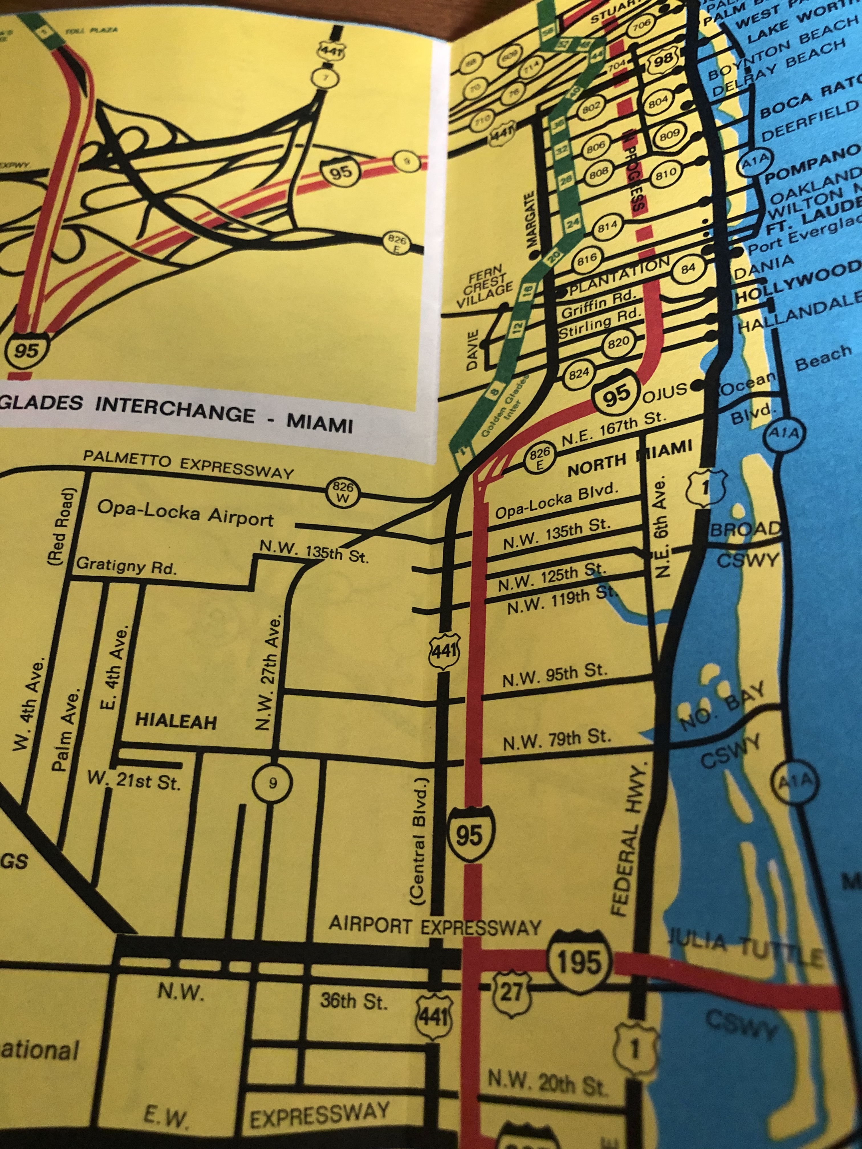
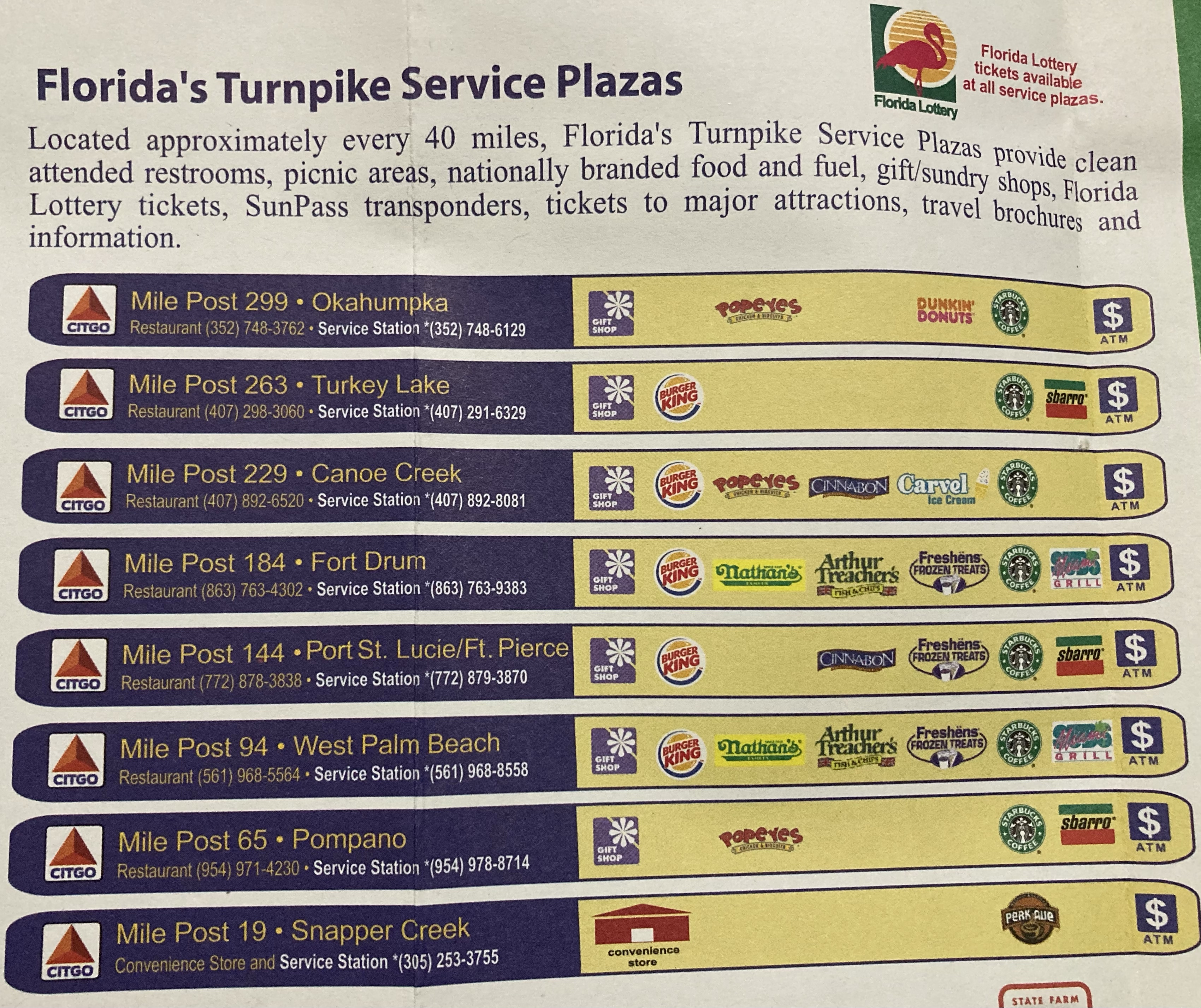
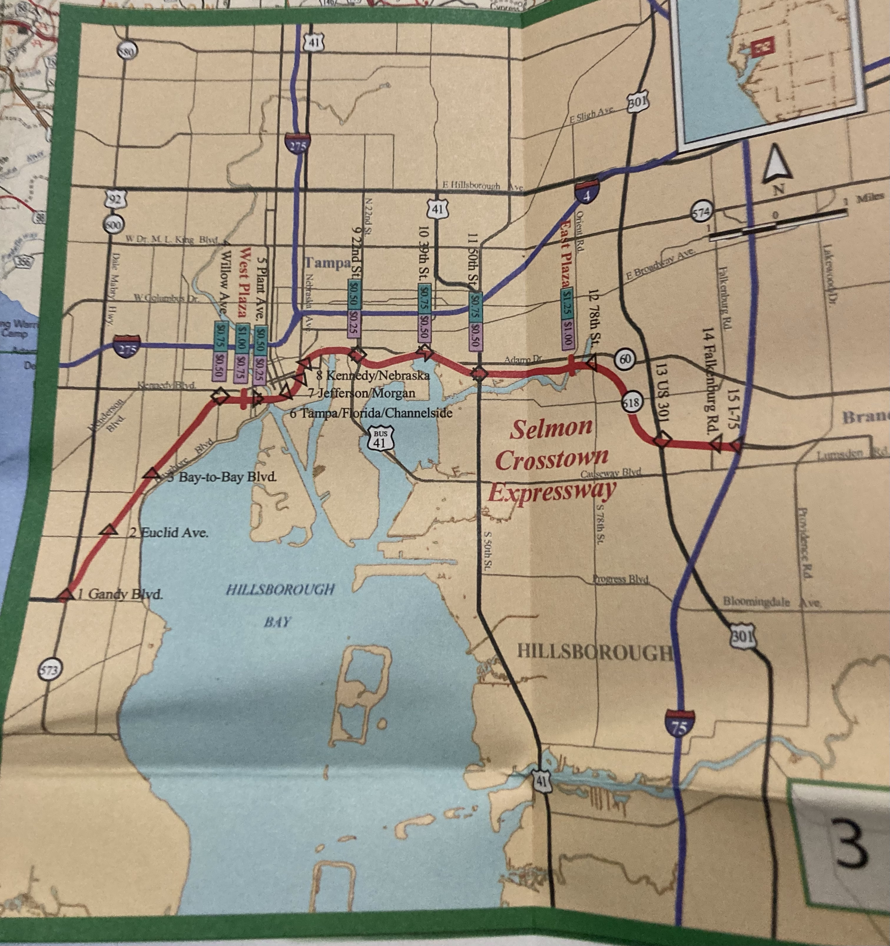
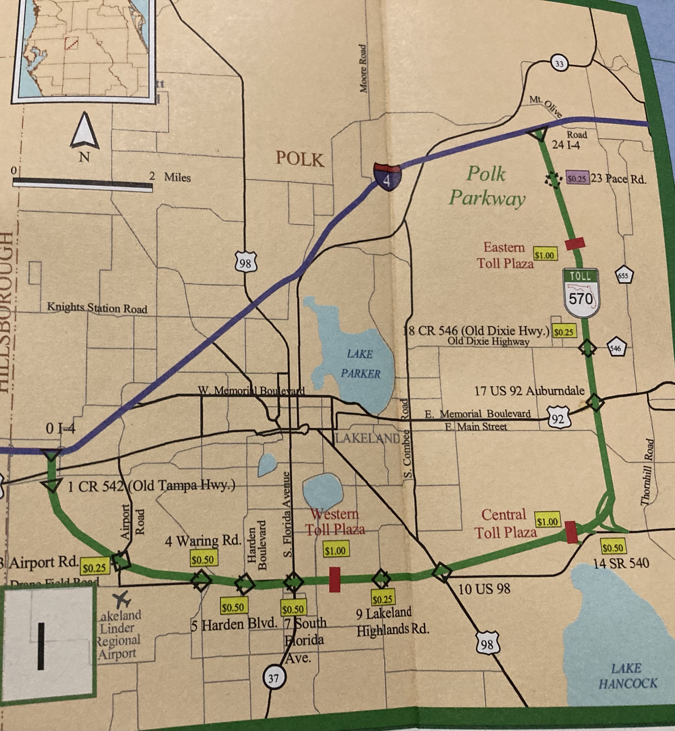
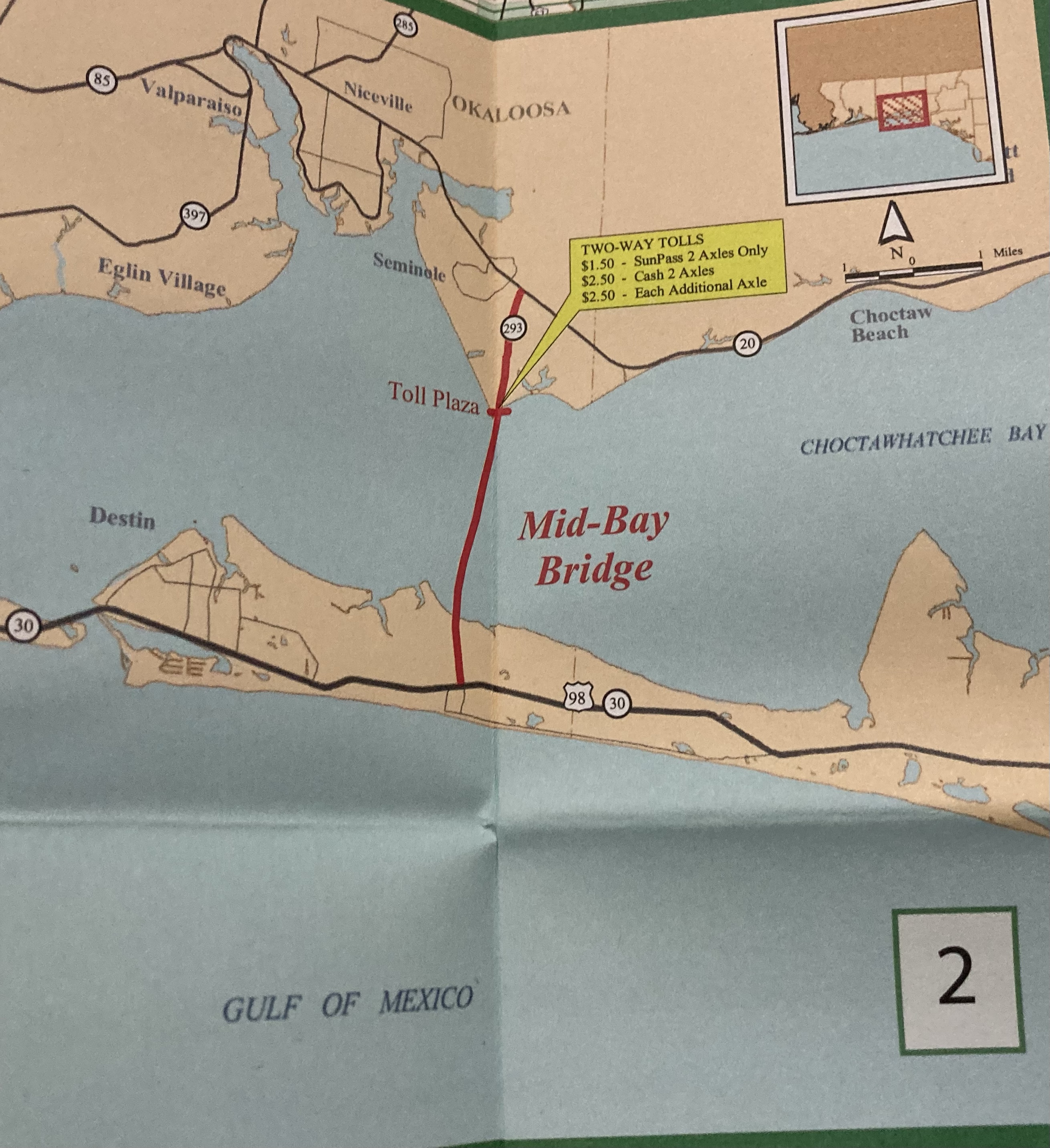
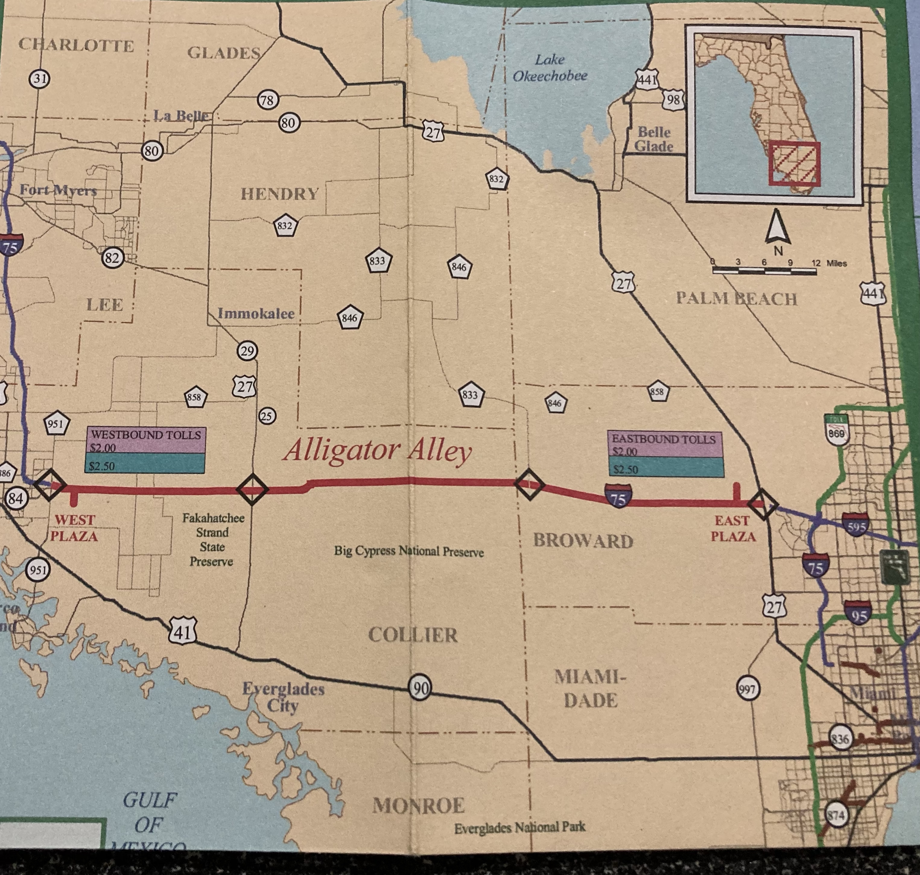
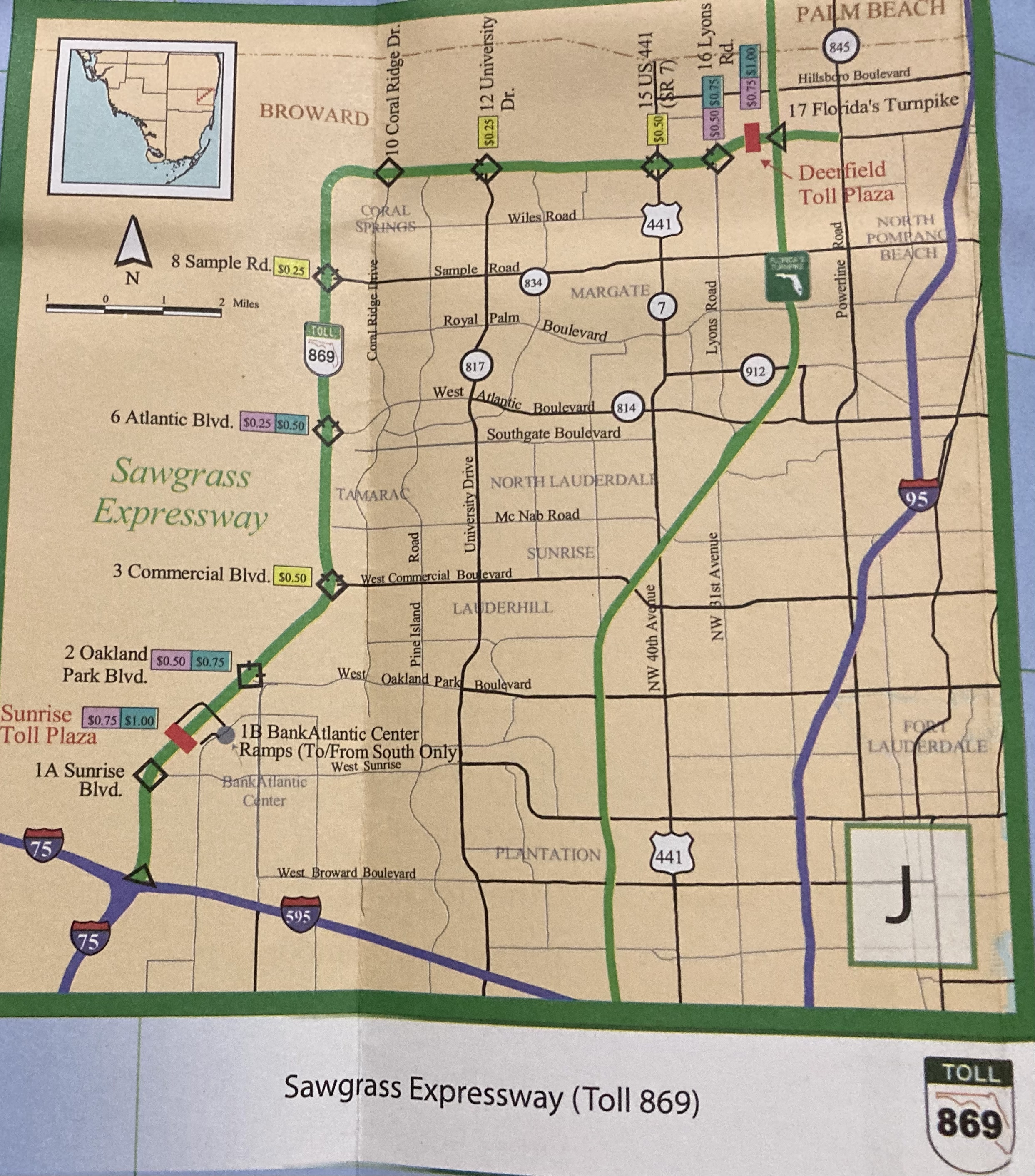
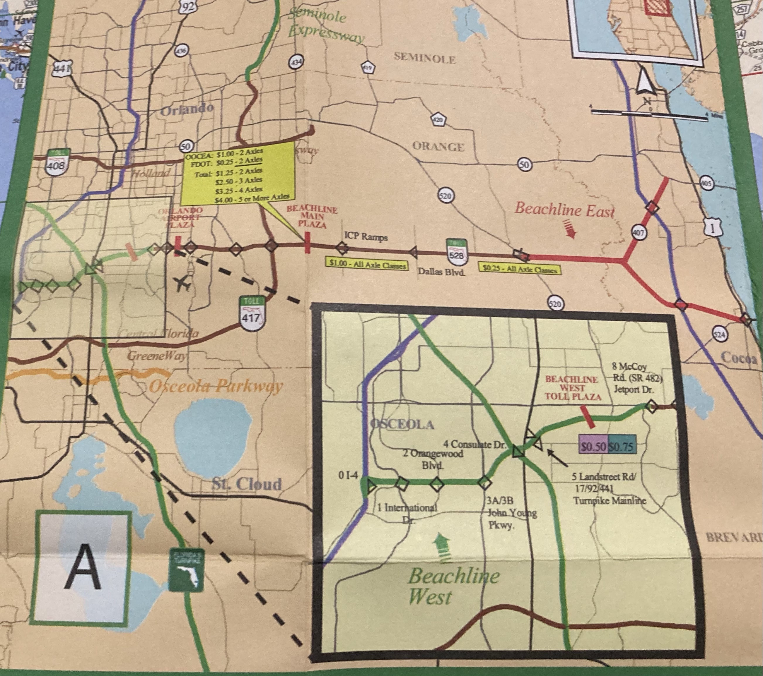
Between 1957 and about 2010, Turnpike system maps were an essential part of the Turnpike experience. Having a fold out map of the system with critical information should be part of the turnpike experience.
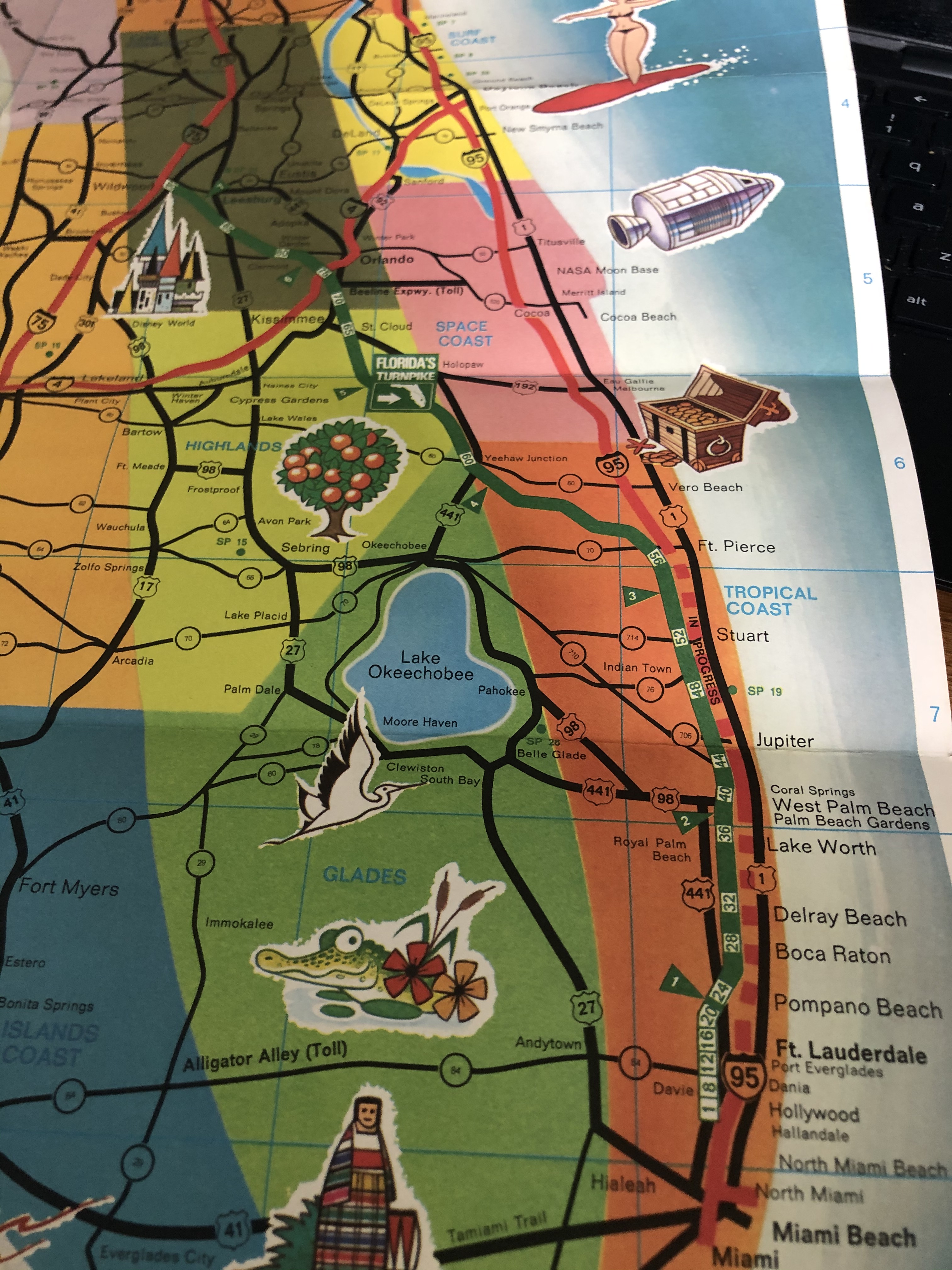
Here are some images from one from 2009 or 2010, the last one printed.


In the past as we have posted some images of past Turnpike guides. Here are a few.