
Ian, a Category 4 storm that could go into the record books as the most severe in scope in Florida’s history, made its first Florida landfall at Cayo Costa State Park in Lee County at 3:05 pm ET. Maximum sustained winds were 150 MPH and minimum central pressure was 940 MB. The location of landfall, winds and pressure were almost identical to Hurricane Charley in 2004. However, this storm is MUCH larger than Charley – in fact no storm has ever created a graphic like the one below, where basically the entire peninsula south of Ocala is covered by Tropical Storm force winds.
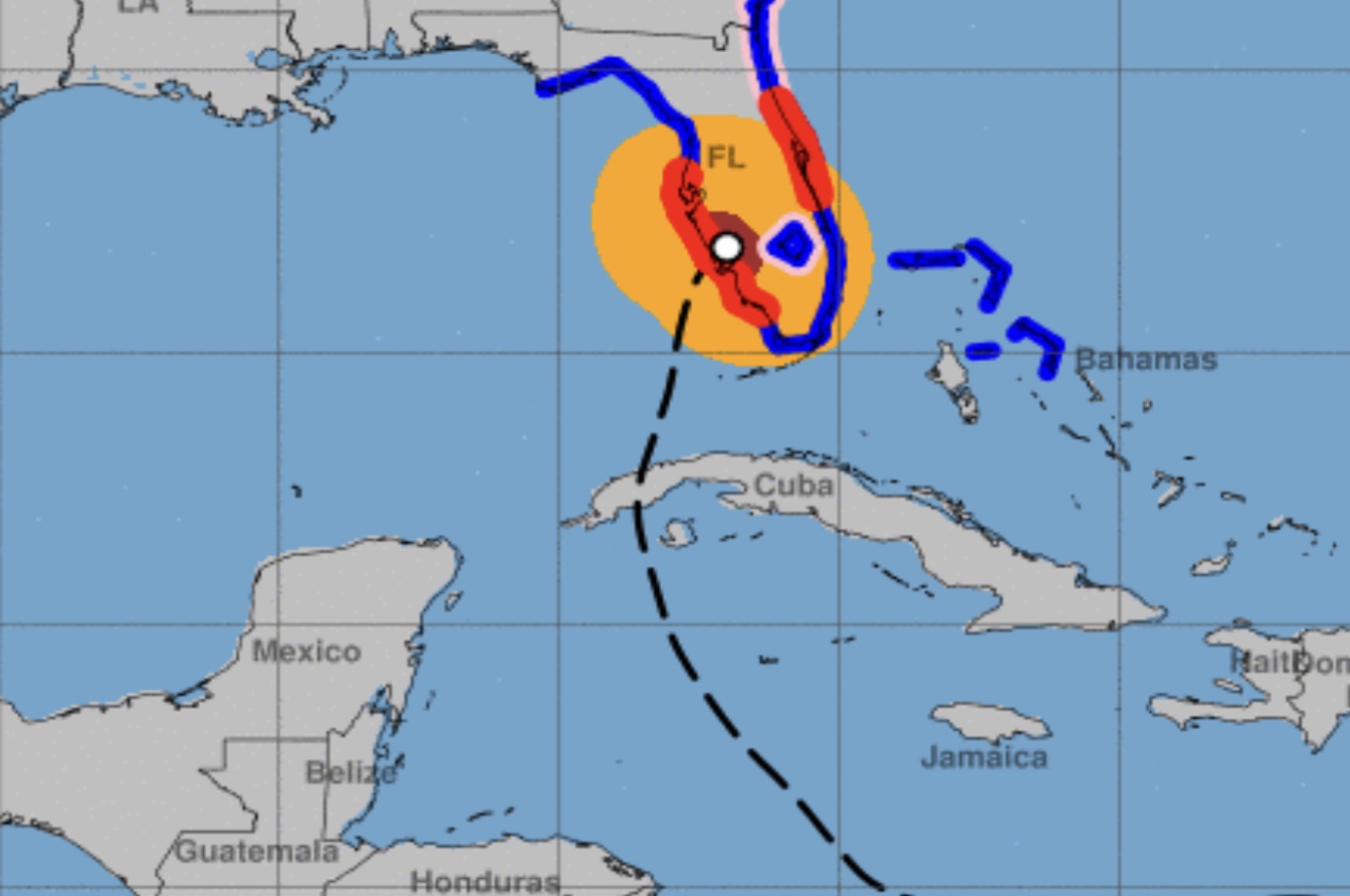
As of 5 pm Ian’s center is 5 mi E of Punta Gorda, 120 mi SSW of Orlando. Storm is turning, now moving at 20 degrees, 8 MPH. This may take the storm south of Orlando. All Warnings for the Keys & Florida Bay are discontinued. All Warnings for the peninsula from Florida City north remain.
The storm is still a Category 4 Hurricane, with maximum sustained winds of 140 MPH.
Power outages now number over 1.2 million in the state.
There are power outages in every county south of Orange already, with Pinellas, Sarasota, Manatee, Charlotte, Lee and Collier being called “severe” for outages. High numbers outages also have occurred in Hillsbrough, Polk, Miami-Dade, Broward and Palm Beach.


