
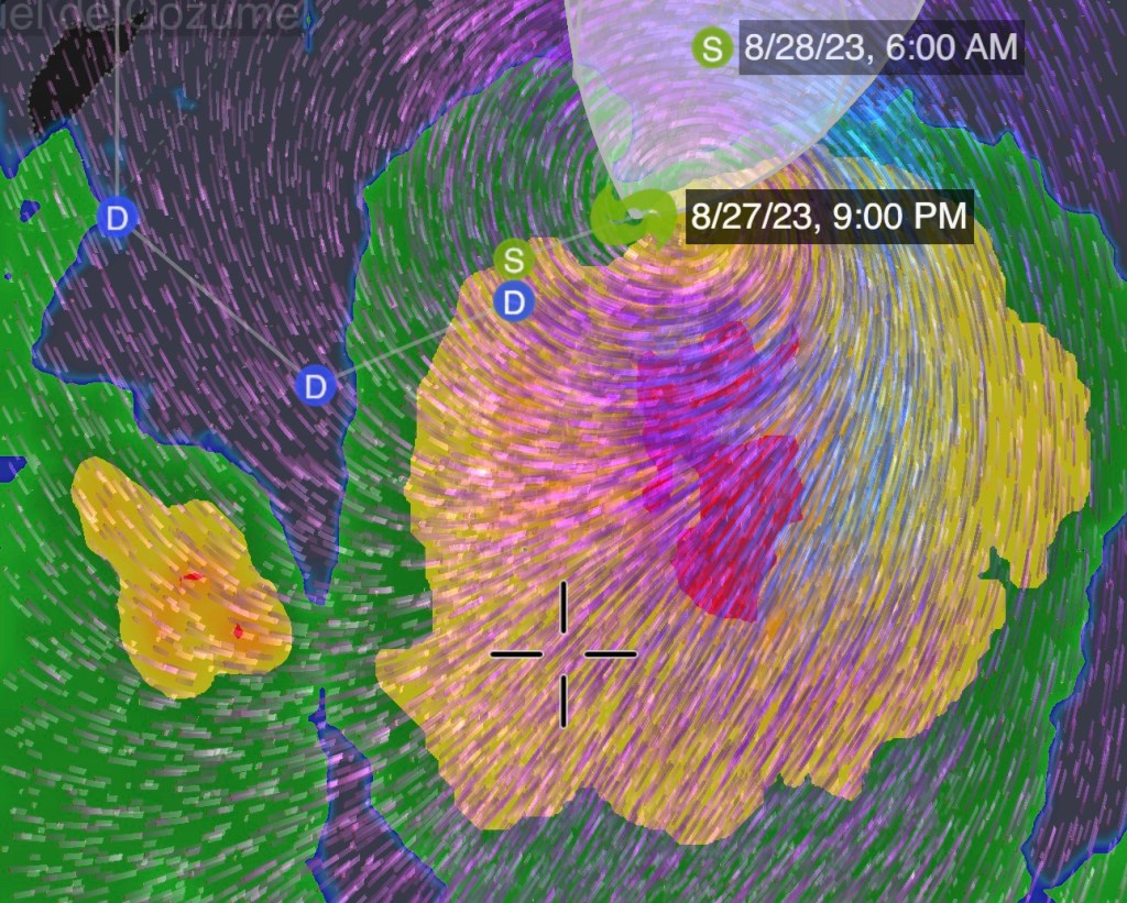
Overnight on visible radar we saw deeper convection and a tropical system that was forming a definitive shape.
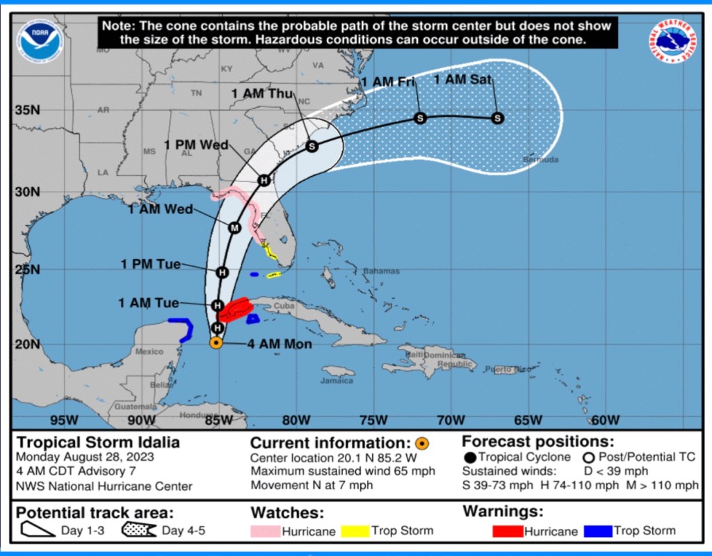
This morning, the modeling clearly indicated a storm that probably will be a major Hurricane (cat 3 or higher) at landfall somewhere on the west coast of Florida.
My greatest fear in the storm is that the Tampa Bay area having dodge bullets with both Irma and Ian is complacent. This storm unfortunately feels like it might be the one to expose any complacency.
Even if the direct hit is as far north, as forecast currently (Cedar Key area) the close approach to the Tampa Bay area as the system moves northeastward will make the storm surge a major event as it was for Collier County, south of Ian’s landfall last year.
The last storm directly hit, the Tampa Bay area was in 1921- but you don’t have to be hit directly by the center of a storm to really feel the impact as many if not most people in the state already realize.
Prepare now.


